
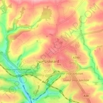
Liskeard topographic map
Click on the map to display elevation.
About this map
Name: Liskeard topographic map, elevation, terrain.
Location: Liskeard, Cornwall, England, United Kingdom (50.43870 -4.49360 50.47803 -4.43850)
Average elevation: 371 ft
Minimum elevation: 121 ft
Maximum elevation: 554 ft
Other topographic maps
Click on a map to view its topography, its elevation and its terrain.