
Make a donation
Gear up for your next adventure:
As an Amazon Associate, this site earns from qualifying purchases at no extra cost to you.
Areeiro topographic map
Click on the map to display elevation.
Make a donation
Gear up for your next adventure:
As an Amazon Associate, this site earns from qualifying purchases at no extra cost to you.
About this map
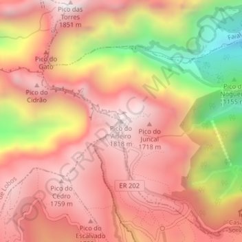
Name: Areeiro topographic map, elevation, terrain.
Location: Areeiro, Santana, Madeira, 9230-212, Portugal (32.73552 -16.92870 32.73562 -16.92860)
Average elevation: 4,721 ft
Minimum elevation: 2,415 ft
Maximum elevation: 5,997 ft
Make a donation
Gear up for your next adventure:
As an Amazon Associate, this site earns from qualifying purchases at no extra cost to you.
Other topographic maps
Click on a map to view its topography, its elevation and its terrain.
São Jorge
Fifty kilometres from the regional capital, the parish is located 240 metres above sea level, limited in the north by the Atlantic Ocean and south by the mountains of the interior range (the heightest altitudes in the parish include Pico Canário 1,592 metres (5,223 ft) and Pico dos Assumadouros 1,184 metres…
Average elevation: 1,906 ft
Make a donation
Gear up for your next adventure:
As an Amazon Associate, this site earns from qualifying purchases at no extra cost to you.