
上杭县 topographic map
Interactive map
Click on the map to display elevation.
About this map
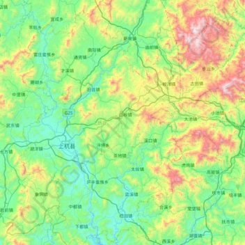
Name: 上杭县 topographic map, elevation, terrain.
Location: 上杭县, 龙岩市, 福建省, 中国 (24.76952 116.26492 25.46140 116.94841)
Average elevation: 1,798 ft
Minimum elevation: 469 ft
Maximum elevation: 5,817 ft
Other topographic maps
Click on a map to view its topography, its elevation and its terrain.