Geolocate

Welland River topographic map

Click on the map to display elevation.

About this map

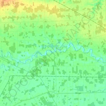
Name: Welland River topographic map, elevation, terrain.

Location: Welland River, Wainfleet, Niagara Region, Golden Horseshoe, Ontario, L0R 2J0, Canada (42.98385 -79.58301 43.01145 -79.38529)

Average elevation: 597 ft

Minimum elevation: 561 ft

Maximum elevation: 656 ft

Other topographic maps

Click on a map to view its topography, its elevation and its terrain.

Morgans Point

Canada > Ontario > Niagara Region > Wainfleet

Average elevation: 571 ft

Reebs Bay

Canada > Ontario > Niagara Region > Wainfleet

Average elevation: 574 ft

Gear up for your next adventure:

🧯Portable Fire Pit - Compact fire pit for camping spots
🧦Hiking Socks - Comfortable socks to prevent blisters on long hikes
🌧️Backpack Rain Cover - Keep gear dry in wet weather
🔥Plasma Lighters - Windproof lighters that work in any weather condition
🪓Survival Multi‑Tool - Versatile tool for camp and trail tasks

As an Amazon Associate, this site earns from qualifying purchases at no extra cost to you.