
Republic topographic map
Click on the map to display elevation.
About this map
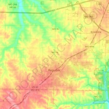
Name: Republic topographic map, elevation, terrain.
Location: Republic, Greene County, Missouri, 65738, United States (37.07462 -93.50709 37.19976 -93.38170)
Average elevation: 1,247 ft
Minimum elevation: 1,073 ft
Maximum elevation: 1,404 ft
Greene County trails, hiking, mountain biking, running and outdoor activities
Other topographic maps
Click on a map to view its topography, its elevation and its terrain.