Geolocate

Fairtree Pond topographic map

Click on the map to display elevation.

About this map

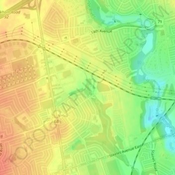
Name: Fairtree Pond topographic map, elevation, terrain.

Location: Fairtree Pond, Markham, York Region, Golden Horseshoe, Ontario, Canada (43.84789 -79.24699 43.85081 -79.24534)

Average elevation: 568 ft

Minimum elevation: 479 ft

Maximum elevation: 627 ft

Other topographic maps

Click on a map to view its topography, its elevation and its terrain.

Rouge National Urban Park

Canada > Ontario > York Region > Markham

Average elevation: 636 ft

Rouge River

Canada > Ontario > York Region > Markham

Average elevation: 643 ft

Toogood Pond

Canada > Ontario > York Region > Markham

Average elevation: 597 ft

Gear up for your next adventure:

👖Convertible Hiking Pants - Versatile zip-off pants for changing altitudes and temperatures
🧷Carabiner Set - Durable clips for gear attachment
🌐World Map Poster - Decorative world maps with topographic info
🌲Outdoor Survival Books - Best books on survival skills
📚USA Hiking Guide Books - Top trail guides and map books

As an Amazon Associate, this site earns from qualifying purchases at no extra cost to you.