
San Lorenzo topographic map
Interactive map
Click on the map to display elevation.
About this map
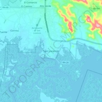
Name: San Lorenzo topographic map, elevation, terrain.
Location: San Lorenzo, Valle, 52102, Honduras (13.38133 -87.48871 13.46133 -87.40871)
Average elevation: 52 ft
Minimum elevation: -3 ft
Maximum elevation: 627 ft
Other topographic maps
Click on a map to view its topography, its elevation and its terrain.
Rio Goascorán
Rio Goascorán, Aramecina, Valle, Honduras
Average elevation: 318 ft