Geolocate

Inks Lake topographic map

Click on the map to display elevation.

About this map

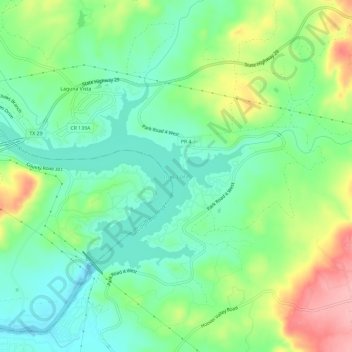
Name: Inks Lake topographic map, elevation, terrain.

Location: Inks Lake, Laguna Vista, Burnet County, Texas, United States (30.72980 -98.41775 30.75739 -98.35881)

Average elevation: 981 ft

Minimum elevation: 830 ft

Maximum elevation: 1,270 ft

Burnet County trails, hiking, mountain biking, running and outdoor activities

Gear up for your next adventure:

🚪Portable Camp Chair - Foldable chair for comfort at camp
🧴Hand Sanitizer - Keep hands clean while hiking
🗺️Topographic Maps - Detailed topo maps for hiking, exploring and outdoor navigation
🔦Powerful Headlamps - Ultra-bright hands-free lighting for night navigation
🚗GPS Dash Cams - Record your scenic drives through mountain passes and canyons

As an Amazon Associate, this site earns from qualifying purchases at no extra cost to you.