Geolocate

Dexter topographic map

Click on the map to display elevation.

About this map

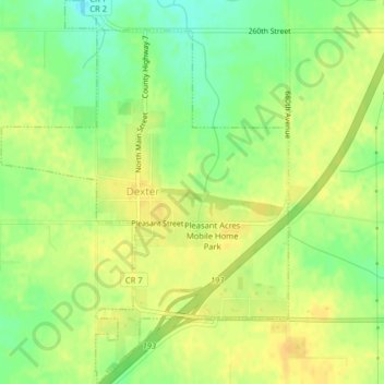
Name: Dexter topographic map, elevation, terrain.

Location: Dexter, Mower County, Minnesota, United States (43.70520 -92.71934 43.73413 -92.68937)

Average elevation: 1,401 ft

Minimum elevation: 1,348 ft

Maximum elevation: 1,434 ft

Mower County trails, hiking, mountain biking, running and outdoor activities

Other topographic maps

Click on a map to view its topography, its elevation and its terrain.

Corning

United States > Minnesota > Mower County

Average elevation: 1,276 ft

Gear up for your next adventure:

🪶Wildlife Field Guides - Learn animal tracking and species ID
🔭Stargazing Telescopes - Perfect for camping in low-light pollution areas shown on maps
🌡️Handheld Weather Meters - Measure wind, temp, and pressure for safe mountain travel
🪶Thermal Camp Blanket - Extra warmth for cold nights
📖Nature Tracking Books - Learn to track wildlife and terrain

As an Amazon Associate, this site earns from qualifying purchases at no extra cost to you.