
Corning topographic map
Click on the map to display elevation.
About this map
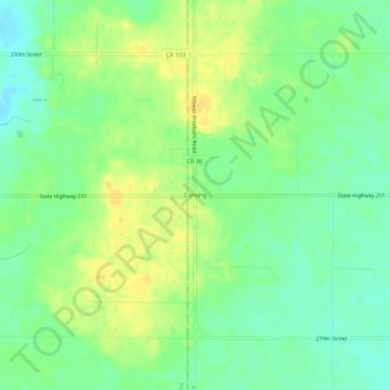
Name: Corning topographic map, elevation, terrain.
Location: Corning, Mower County, Minnesota, United States (43.74107 -93.06936 43.78107 -93.02936)
Average elevation: 1,276 ft
Minimum elevation: 1,234 ft
Maximum elevation: 1,319 ft
Mower County trails, hiking, mountain biking, running and outdoor activities
Other topographic maps
Click on a map to view its topography, its elevation and its terrain.