Geolocate

Nachu topographic map

Click on the map to display elevation.

About this map

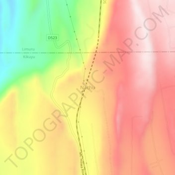
Name: Nachu topographic map, elevation, terrain.

Location: Nachu, Kiambu, Central Kenya, Kenya (-1.25566 36.53303 -1.21566 36.57303)

Average elevation: 6,089 ft

Minimum elevation: 4,980 ft

Maximum elevation: 6,824 ft

Gear up for your next adventure:

🧦Merino Wool Socks - Moisture-wicking, blister-preventing socks for long treks
🧢Sun Protection Hats - Wide-brimmed and UPF-rated hats for high-altitude sun safety
🪶Multi‑Purpose Knife - Useful blade for camp and trail
🥾Men's Hiking Boots - Durable, waterproof footwear for rugged terrain and steep inclines
🧭Map Reading Tools - Tools and kits for map navigation

As an Amazon Associate, this site earns from qualifying purchases at no extra cost to you.