Geolocate

Egloffstein topographic map

Click on the map to display elevation.

About this map

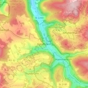
Name: Egloffstein topographic map, elevation, terrain.

Location: Egloffstein, Landkreis Forchheim, Bavaria, 91349, Germany (49.68221 11.23804 49.72221 11.27804)

Average elevation: 1,512 ft

Minimum elevation: 1,093 ft

Maximum elevation: 1,870 ft

Gear up for your next adventure:

🌐World Map Poster - Decorative world maps with topographic info
Backpacking Tents - Weight-optimized shelters for multi-day topographic surveys
🌲Outdoor Survival Books - Best books on survival skills
🥩Freeze-Dried Meals - Nutritious and lightweight food for remote expeditions
🧢Outdoor Hiking Hat - Sun protection hat for outdoor explorers

As an Amazon Associate, this site earns from qualifying purchases at no extra cost to you.