Geolocate

Merrimac topographic map

Click on the map to display elevation.

About this map

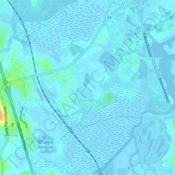
Name: Merrimac topographic map, elevation, terrain.

Location: Merrimac, Gold Coast City, Queensland, Australia (-28.06733 153.35434 -28.03251 153.39287)

Average elevation: 10 ft

Minimum elevation: -10 ft

Maximum elevation: 141 ft

Other topographic maps

Click on a map to view its topography, its elevation and its terrain.

Coomera Island

Australia > Queensland > Gold Coast City

Average elevation: 10 ft

Canyon Lookout

Australia > Queensland > Gold Coast City

Average elevation: 2,356 ft

Gear up for your next adventure:

🦶Carbon Trekking Poles - Reduce knee impact on steep descents with ultra-light poles
🌐World Map Poster - Decorative world maps with topographic info
🌧️Backpack Rain Cover - Keep gear dry in wet weather
🧤Tactile Hiking Gloves - Keep hands warm while operating GPS and smartphone screens
🔋Solar Power Banks - Keep your GPS and phone charged in remote wilderness areas

As an Amazon Associate, this site earns from qualifying purchases at no extra cost to you.