
Río Amarillo topographic map
Interactive map
Click on the map to display elevation.
About this map
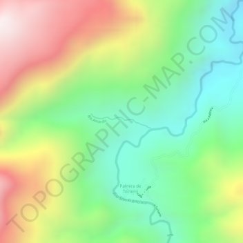
Name: Río Amarillo topographic map, elevation, terrain.
Location: Río Amarillo, San Miguel de Urcuquí, Imbabura, Ecuador (0.74126 -78.47657 0.74309 -78.46984)
Average elevation: 3,907 ft
Minimum elevation: 2,897 ft
Maximum elevation: 5,240 ft
Other topographic maps
Click on a map to view its topography, its elevation and its terrain.