Edgewood topographic map
Interactive map
Click on the map to display elevation.
About this map
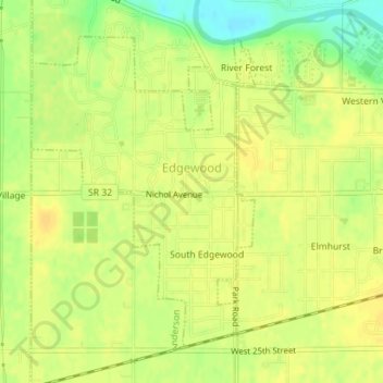
Name: Edgewood topographic map, elevation, terrain.
Location: Edgewood, Madison County, Indiana, United States (40.09072 -85.74893 40.11260 -85.72835)
Average elevation: 876 ft
Minimum elevation: 820 ft
Maximum elevation: 899 ft
Other topographic maps
Click on a map to view its topography, its elevation and its terrain.
Chesterfield
United States > Indiana > Madison County
Chesterfield, Madison County, Indiana, United States
Average elevation: 909 ft
Frankton
United States > Indiana > Madison County
Frankton, Madison County, Indiana, United States
Average elevation: 850 ft
Anderson
United States > Indiana > Madison County
Anderson, Madison County, Indiana, United States
Average elevation: 892 ft
Pendleton
United States > Indiana > Madison County
Pendleton, Madison County, Indiana, 46064, United States
Average elevation: 879 ft
Florida
United States > Indiana > Madison County > Florida
Florida, Madison County, Indiana, United States
Average elevation: 883 ft