Geolocate

Steele topographic map

Click on the map to display elevation.

About this map

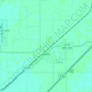
Name: Steele topographic map, elevation, terrain.

Location: Steele, Pemiscot County, Missouri, United States (36.07376 -89.87383 36.10310 -89.81088)

Average elevation: 259 ft

Minimum elevation: 249 ft

Maximum elevation: 269 ft

Pemiscot County trails, hiking, mountain biking, running and outdoor activities

Other topographic maps

Click on a map to view its topography, its elevation and its terrain.

Samford

United States > Missouri > Pemiscot County

Average elevation: 256 ft

Gear up for your next adventure:

🔦Compact Flashlight - Reliable flashlight for emergencies
👖Convertible Hiking Pants - Versatile zip-off pants for changing altitudes and temperatures
🔊Portable Camp Speaker - Music and alerts at camp
🚁Photography Drones - Capture stunning aerial views of landforms and topography
🖼️Topo Map Wall Art - Decorative topographic prints of famous peaks and regions

As an Amazon Associate, this site earns from qualifying purchases at no extra cost to you.