
折多山观雪台 topographic map
Interactive map
Click on the map to display elevation.
About this map
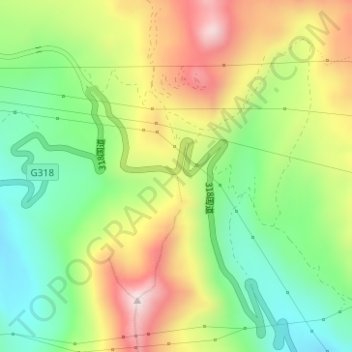
Name: 折多山观雪台 topographic map, elevation, terrain.
Location: 折多山观雪台, 318国道, 康定市, 甘孜藏族自治州, 四川省, 中国 (30.07394 101.80401 30.07404 101.80411)
Average elevation: 13,973 ft
Minimum elevation: 13,261 ft
Maximum elevation: 14,915 ft
Other topographic maps
Click on a map to view its topography, its elevation and its terrain.