
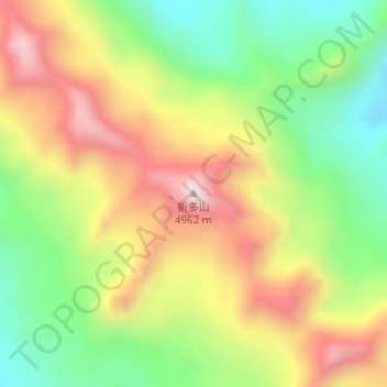
折多山 topographic map
Interactive map
Click on the map to display elevation.
About this map
Name: 折多山 topographic map, elevation, terrain.
Location: 折多山, 康定市, 甘孜藏族自治州, 四川省, 中国 (30.11725 101.79522 30.11735 101.79532)
Average elevation: 15,151 ft
Minimum elevation: 14,213 ft
Maximum elevation: 16,227 ft
Other topographic maps
Click on a map to view its topography, its elevation and its terrain.