
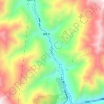
瓦斯沟 topographic map
Interactive map
Click on the map to display elevation.
About this map
Name: 瓦斯沟 topographic map, elevation, terrain.
Location: 瓦斯沟, 康定市, 甘孜藏族自治州, 四川省, 中国 (30.05590 101.93267 30.12874 101.96530)
Average elevation: 10,781 ft
Minimum elevation: 8,018 ft
Maximum elevation: 14,367 ft
Other topographic maps
Click on a map to view its topography, its elevation and its terrain.