
Errington topographic map
Click on the map to display elevation.
About this map
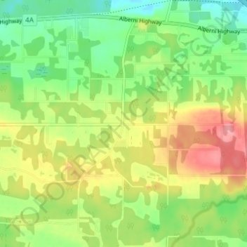
Name: Errington topographic map, elevation, terrain.
Average elevation: 394 ft
Minimum elevation: 259 ft
Maximum elevation: 568 ft
Other topographic maps
Click on a map to view its topography, its elevation and its terrain.
Englishman River Falls
Canada > British Columbia > Regional District of Nanaimo > Area F (Alberni Highway)
Average elevation: 650 ft
Little Qualicum Falls Provincial Park
Canada > British Columbia > Regional District of Nanaimo > Area F (Alberni Highway)
Average elevation: 1,519 ft