
Mariendorf topographic map
Interactive map
Click on the map to display elevation.
About this map
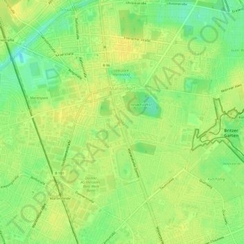
Name: Mariendorf topographic map, elevation, terrain.
Location: Mariendorf, Tempelhof-Schöneberg, Berlin, Allemagne (52.41665 13.36265 52.45332 13.41683)
Average elevation: 154 ft
Minimum elevation: 108 ft
Maximum elevation: 180 ft
Other topographic maps
Click on a map to view its topography, its elevation and its terrain.