
Neukölln topographic map
Interactive map
Click on the map to display elevation.
About this map
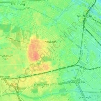
Name: Neukölln topographic map, elevation, terrain.
Location: Neukölln, Berlin, Allemagne (52.45876 13.40608 52.49587 13.47855)
Average elevation: 141 ft
Minimum elevation: 85 ft
Maximum elevation: 220 ft
Other topographic maps
Click on a map to view its topography, its elevation and its terrain.
Charlottenburg-Wilmersdorf
Charlottenburg-Wilmersdorf, Berlin, Allemagne
Average elevation: 144 ft
Mariendorf
Mariendorf, Tempelhof-Schöneberg, Berlin, Allemagne
Average elevation: 154 ft