Geolocate

Farnham topographic map

Click on the map to display elevation.

About this map

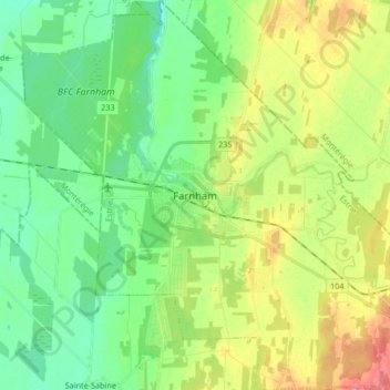
Name: Farnham topographic map, elevation, terrain.

Location: Farnham, Brome-Missisquoi, Estrie, Quebec, Canada (45.22459 -73.04886 45.34193 -72.88203)

Average elevation: 207 ft

Minimum elevation: 125 ft

Maximum elevation: 344 ft

Gear up for your next adventure:

🪶Wildlife Field Guides - Learn animal tracking and species ID
🔦Powerful Headlamps - Ultra-bright hands-free lighting for night navigation
🌡️Portable Weather Meter - Track weather conditions on the trail
🧤Hiking Gloves - Protective gloves for rugged trails
Solar GPS Watches - Advanced multisport watches with built-in topographic maps

As an Amazon Associate, this site earns from qualifying purchases at no extra cost to you.