Geolocate

Iowa Colony topographic map

Click on the map to display elevation.

About this map

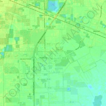
Name: Iowa Colony topographic map, elevation, terrain.

Location: Iowa Colony, Brazoria County, Texas, United States (29.39208 -95.45688 29.49730 -95.38714)

Average elevation: 52 ft

Minimum elevation: 30 ft

Maximum elevation: 69 ft

Brazoria County trails, hiking, mountain biking, running and outdoor activities

Other topographic maps

Click on a map to view its topography, its elevation and its terrain.

Rosharon

United States > Texas > Brazoria County

Average elevation: 52 ft

Clute

United States > Texas > Brazoria County > Clute > Clute

Average elevation: 16 ft

Sandy Point

United States > Texas > Brazoria County

Average elevation: 59 ft

Gear up for your next adventure:

🎒Trail Energy Bars - High‑calorie bars for hiking energy
🔋Rechargeable Batteries - Power up your outdoor devices
🛠️Outdoor Gear Repair Kit - Essential tools to fix gear on the trail
🚗GPS Dash Cams - Record your scenic drives through mountain passes and canyons
🧣Merino Neck Gaiters - Multi-functional headwear for wind and sun protection

As an Amazon Associate, this site earns from qualifying purchases at no extra cost to you.