Geolocate

Nannestad topographic map

Click on the map to display elevation.

About this map

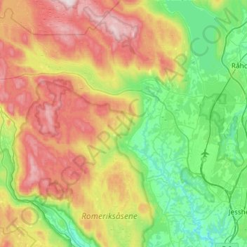
Name: Nannestad topographic map, elevation, terrain.

Location: Nannestad, Viken, Norway (60.10629 10.77203 60.34669 11.12920)

Average elevation: 1,086 ft

Minimum elevation: 364 ft

Maximum elevation: 2,395 ft

Other topographic maps

Click on a map to view its topography, its elevation and its terrain.

Ribba

Norway > Viken

Average elevation: 16 ft

Land

Norway > Viken

Average elevation: 709 ft

Sandvika

Norway > Viken

Average elevation: 197 ft

Engelsviken

Norway > Viken > Engelsviken

Average elevation: 39 ft

Gear up for your next adventure:

🪶Fire Starter Kit - Reliable fire starter for survival and camping
🥇GPS Hiking Watch - Multi‑sport GPS watch with navigation and trail tracking
📡Handheld GPS Device - Reliable handheld GPS for outdoor navigation
🎒Trekking Poles - Sturdy poles for balance and stability on rough terrain
📱Solar Portable Charger - Solar power bank for charging devices off‑grid

As an Amazon Associate, this site earns from qualifying purchases at no extra cost to you.