Geolocate

Viken topographic maps

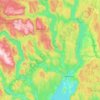
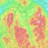
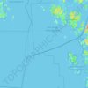
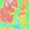
Click on a map to view its topography, its elevation and its terrain.
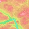
Gol

Norway > Viken

Average elevation: 2,753 ft

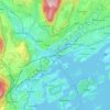
Sandvika

Norway > Viken

Average elevation: 197 ft

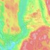
Jevnaker

Norway > Viken

Average elevation: 1,142 ft

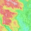
Nannestad

Norway > Viken

Average elevation: 1,086 ft

Ribba

Norway > Viken

Average elevation: 16 ft

Ringerike

Norway > Viken

Average elevation: 1,453 ft

Lørenskog

Norway > Viken

Average elevation: 732 ft

Hvaler

Norway > Viken

Average elevation: 7 ft

Lier

Norway > Viken

Average elevation: 928 ft

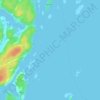
Engelsviken

Norway > Viken > Engelsviken

Average elevation: 39 ft

Land

Norway > Viken

Average elevation: 709 ft

About this place

Gear up for your next adventure:

🧢Outdoor Hiking Hat - Sun protection hat for outdoor explorers
🥄Camping Utensil Set - Lightweight utensils for outdoor meals
💧Water Purification System - Clean water on the trail with reliable purifiers
🧤Tactile Hiking Gloves - Keep hands warm while operating GPS and smartphone screens
🪑Ultralight Camp Chairs - Portable seating for resting after a long day of mapping

As an Amazon Associate, this site earns from qualifying purchases at no extra cost to you.