
Go Home Bay topographic map
Click on the map to display elevation.
About this map
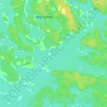
Name: Go Home Bay topographic map, elevation, terrain.
Average elevation: 587 ft
Minimum elevation: 558 ft
Maximum elevation: 636 ft
Other topographic maps
Click on a map to view its topography, its elevation and its terrain.
Beausoleil Island
Canada > Ontario > Muskoka District > Georgian Bay Township
Average elevation: 591 ft
Georgian Bay Islands National Park
Canada > Ontario > Muskoka District > Georgian Bay Township
Average elevation: 597 ft
Stewart Lake
Canada > Ontario > Muskoka District > Georgian Bay Township > MacTier
Average elevation: 791 ft
Old Big Chute Marine Railway
Canada > Ontario > Muskoka District > Georgian Bay Township
Average elevation: 650 ft