
Virginia topographic map
Click on the map to display elevation.
About this map
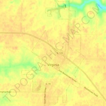
Name: Virginia topographic map, elevation, terrain.
Location: Virginia, Cass County, Illinois, United States (39.93854 -90.22487 39.97083 -90.19964)
Average elevation: 617 ft
Minimum elevation: 535 ft
Maximum elevation: 636 ft
Cass County trails, hiking, mountain biking, running and outdoor activities
Other topographic maps
Click on a map to view its topography, its elevation and its terrain.