Geolocate

Nyamonye topographic map

Click on the map to display elevation.

About this map

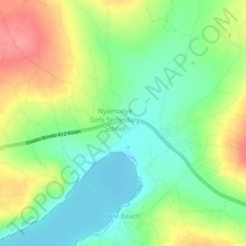
Name: Nyamonye topographic map, elevation, terrain.

Location: Nyamonye, Yimbo East ward, Bondo, Siaya County, Kenya (-0.07003 34.12179 -0.03003 34.16179)

Average elevation: 3,819 ft

Minimum elevation: 3,714 ft

Maximum elevation: 3,970 ft

Gear up for your next adventure:

🪶Survival Guide Book - Expert advice for emergency preparedness
📷Action Camera - Capture your outdoor adventures in HD
🌡️Portable Weather Meter - Track weather conditions on the trail
🛶Inflatable Kayak - Portable kayak for rivers, lakes, and expeditions
👟Men's Trail Runners - Lightweight footwear for fast-paced exploration and light hiking

As an Amazon Associate, this site earns from qualifying purchases at no extra cost to you.