
Hamisi topographic map
Click on the map to display elevation.
About this map
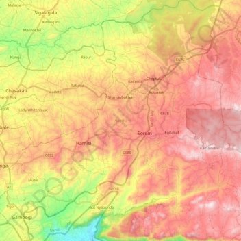
Name: Hamisi topographic map, elevation, terrain.
Location: Hamisi, Vihiga County, Western, Kenya (-0.02418 34.71126 0.20384 34.92654)
Average elevation: 5,344 ft
Minimum elevation: 3,944 ft
Maximum elevation: 6,434 ft