
江口镇 topographic map
Interactive map
Click on the map to display elevation.
About this map
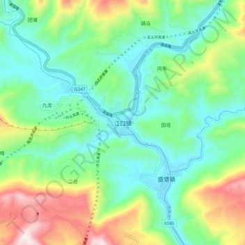
Name: 江口镇 topographic map, elevation, terrain.
Location: 江口镇, 云阳县, 重庆市, 中国 (31.18204 108.75506 31.26204 108.83506)
Average elevation: 1,375 ft
Minimum elevation: 535 ft
Maximum elevation: 3,323 ft
Other topographic maps
Click on a map to view its topography, its elevation and its terrain.