
水口乡 topographic map
Interactive map
Click on the map to display elevation.
About this map
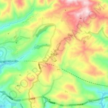
Name: 水口乡 topographic map, elevation, terrain.
Location: 水口乡, 云阳县, 重庆市, 中国 (30.96600 108.72400 31.04600 108.80400)
Average elevation: 1,654 ft
Minimum elevation: 430 ft
Maximum elevation: 3,222 ft
Other topographic maps
Click on a map to view its topography, its elevation and its terrain.