
黄石镇 topographic map
Interactive map
Click on the map to display elevation.
About this map
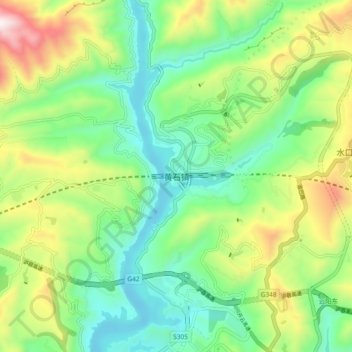
Name: 黄石镇 topographic map, elevation, terrain.
Location: 黄石镇, 云阳县, 渝东北三峡库区城镇群区位, 重庆市, 中国 (30.96040 108.67826 31.04040 108.75826)
Average elevation: 1,352 ft
Minimum elevation: 338 ft
Maximum elevation: 3,369 ft
Other topographic maps
Click on a map to view its topography, its elevation and its terrain.