
Cross Timbers topographic map
Click on the map to display elevation.
About this map
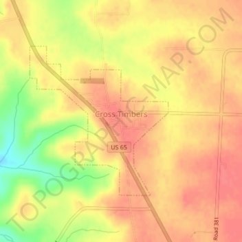
Name: Cross Timbers topographic map, elevation, terrain.
Location: Cross Timbers, Hickory County, Missouri, United States (38.01561 -93.23983 38.03232 -93.22019)
Average elevation: 994 ft
Minimum elevation: 860 ft
Maximum elevation: 1,050 ft
Hickory County trails, hiking, mountain biking, running and outdoor activities
Other topographic maps
Click on a map to view its topography, its elevation and its terrain.