
蒿坝镇 topographic map
Interactive map
Click on the map to display elevation.
About this map
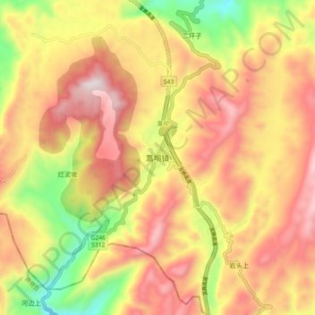
Name: 蒿坝镇 topographic map, elevation, terrain.
Location: 蒿坝镇, 筠连县, 宜宾市, 四川省, 中国 (27.87452 104.49934 27.95452 104.57934)
Average elevation: 3,832 ft
Minimum elevation: 2,208 ft
Maximum elevation: 5,115 ft
Other topographic maps
Click on a map to view its topography, its elevation and its terrain.