
大屯街道 topographic map
Interactive map
Click on the map to display elevation.
About this map
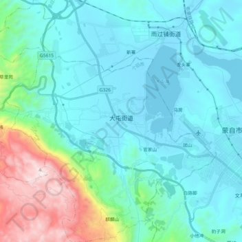
Name: 大屯街道 topographic map, elevation, terrain.
Location: 大屯街道, 个旧市, 红河哈尼族彝族自治州, 云南省, 中国 (23.32001 103.18319 23.48529 103.35055)
Average elevation: 5,056 ft
Minimum elevation: 4,196 ft
Maximum elevation: 9,055 ft
Other topographic maps
Click on a map to view its topography, its elevation and its terrain.