
鸡街镇 topographic map
Interactive map
Click on the map to display elevation.
About this map
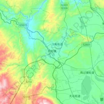
Name: 鸡街镇 topographic map, elevation, terrain.
Location: 鸡街镇, 个旧市, 红河哈尼族彝族自治州, 云南省, 中国 (23.40425 103.02661 23.62037 103.30468)
Average elevation: 4,744 ft
Minimum elevation: 3,645 ft
Maximum elevation: 8,212 ft
Other topographic maps
Click on a map to view its topography, its elevation and its terrain.