
岔河 topographic map
Interactive map
Click on the map to display elevation.
About this map
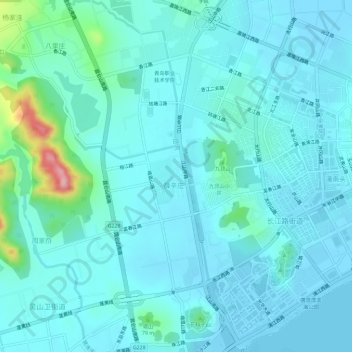
Name: 岔河 topographic map, elevation, terrain.
Location: 岔河, 黄岛区, 青岛市, 山东省, 266500, 中国 (35.93420 120.13816 35.98122 120.16948)
Average elevation: 79 ft
Minimum elevation: -7 ft
Maximum elevation: 617 ft
Other topographic maps
Click on a map to view its topography, its elevation and its terrain.