
唐岛湾公园 topographic map
Interactive map
Click on the map to display elevation.
About this map
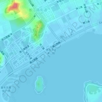
Name: 唐岛湾公园 topographic map, elevation, terrain.
Location: 唐岛湾公园, 西海岸新区, 黄岛区, 青岛市, 山东省, 266500, 中国 (35.93465 120.16876 35.94704 120.19541)
Average elevation: 13 ft
Minimum elevation: -7 ft
Maximum elevation: 217 ft
Other topographic maps
Click on a map to view its topography, its elevation and its terrain.