
Turabah topographic map
Click on the map to display elevation.
Turabah
Turabah (Arabic: تربة, also spelled turaba, turba or tarba) is a city in Najd in Saudi Arabia, located in the valley of the same name. Turubah is located south of the mountain of Hadhn ("Jebel Hadhn"), to the southeast of Mecca. It is therefore considered on the border between the topographic regions of Hejaz and Najd. The town's traditional inhabitants are the tribe of Al-Bugum. The population of Turubah was 42,810 in 2004, while now in 2020 about 100,000.
About this map
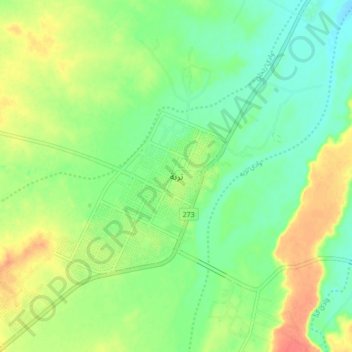
Name: Turabah topographic map, elevation, terrain.
Location: Turabah, Turubah, Makkah Region, 29751, Saudi Arabia (21.17802 41.59350 21.25802 41.67350)
Average elevation: 3,809 ft
Minimum elevation: 3,740 ft
Maximum elevation: 3,911 ft
Other topographic maps
Click on a map to view its topography, its elevation and its terrain.