Geolocate

Sudbury topographic map

Click on the map to display elevation.

About this map

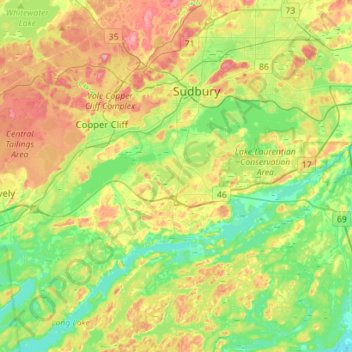
Name: Sudbury topographic map, elevation, terrain.

Location: Sudbury, Greater Sudbury, Sudbury District, Ontario, Canada (46.34876 -81.08529 46.54273 -80.87967)

Average elevation: 892 ft

Minimum elevation: 719 ft

Maximum elevation: 1,152 ft

Gear up for your next adventure:

🚁Photography Drones - Capture stunning aerial views of landforms and topography
📦Dry Bags Set - Waterproof storage for electronics and clothes
🧭Pro Hiking Compasses - High-accuracy liquid-filled compasses for topographic orientation
🧼Biodegradable Camping Soap - Eco‑friendly soap for outdoor hygiene
🔪Outdoor Multitools - Essential survival tools for gear repair and field use

As an Amazon Associate, this site earns from qualifying purchases at no extra cost to you.