Geolocate

Camp Point topographic map

Click on the map to display elevation.

About this map

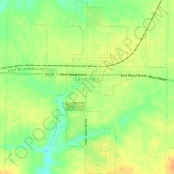
Name: Camp Point topographic map, elevation, terrain.

Location: Camp Point, Adams County, Illinois, United States (40.02164 -91.07826 40.05371 -91.05001)

Average elevation: 732 ft

Minimum elevation: 669 ft

Maximum elevation: 781 ft

Adams County trails, hiking, mountain biking, running and outdoor activities

Other topographic maps

Click on a map to view its topography, its elevation and its terrain.

Quincy

United States > Illinois > Adams County > Quincy

Average elevation: 594 ft

Northridge

United States > Illinois > Adams County > Quincy

Average elevation: 577 ft

McDonald Island

United States > Illinois > Adams County

Average elevation: 466 ft

Gear up for your next adventure:

📻Weather Alert Radios - Stay informed of storm risks while off-the-grid
Backpacking Tent - Lightweight and durable tent for multi‑day hikes
🥤Water Filter Bottle - All‑in‑one filter bottle for safe hydration
📱Heavy-Duty Phone Cases - Drop-proof and waterproof protection for outdoor navigation
📚USA Hiking Guide Books - Top trail guides and map books

As an Amazon Associate, this site earns from qualifying purchases at no extra cost to you.