Geolocate

Aldora topographic map

Click on the map to display elevation.

About this map

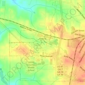
Name: Aldora topographic map, elevation, terrain.

Location: Aldora, Lamar County, Georgia, United States (33.04663 -84.18419 33.05499 -84.16901)

Average elevation: 823 ft

Minimum elevation: 735 ft

Maximum elevation: 886 ft

Lamar County trails, hiking, mountain biking, running and outdoor activities

Other topographic maps

Click on a map to view its topography, its elevation and its terrain.

Piedmont

United States > Georgia > Lamar County

Average elevation: 738 ft

Gear up for your next adventure:

🪶Wildlife Field Guides - Learn animal tracking and species ID
🎒Waterproof Dry Bags - Keep your electronics and maps dry inside your pack
🥾Hiking Shoes - Durable and comfortable shoes for trail hiking
🧭Map Reading Tools - Tools and kits for map navigation
🧭Outdoor Navigation Book - Learn advanced navigation skills

As an Amazon Associate, this site earns from qualifying purchases at no extra cost to you.