Geolocate

Shirley topographic map

Click on the map to display elevation.

About this map

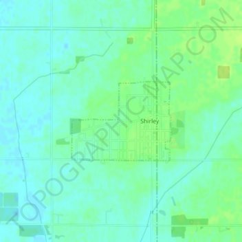
Name: Shirley topographic map, elevation, terrain.

Location: Shirley, Hancock County, Indiana, United States (39.88727 -85.58836 39.89607 -85.57394)

Average elevation: 1,024 ft

Minimum elevation: 1,004 ft

Maximum elevation: 1,050 ft

Hancock County trails, hiking, mountain biking, running and outdoor activities

Other topographic maps

Click on a map to view its topography, its elevation and its terrain.

Cleveland

United States > Indiana > Hancock County

Average elevation: 958 ft

Gear up for your next adventure:

🏕️Tent Footprint - Protect your tent base from wear
📡Handheld GPS Device - Reliable handheld GPS for outdoor navigation
GPS Sports Watch - GPS watch for running, hiking and training
🧭Hiking Compass - Precision compass for reliable navigation in the wilderness
🌡️Portable Weather Meter - Track weather conditions on the trail

As an Amazon Associate, this site earns from qualifying purchases at no extra cost to you.