Geolocate

Churdan topographic map

Click on the map to display elevation.

About this map

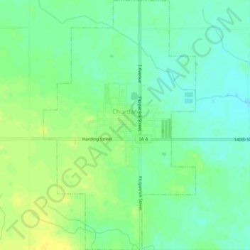
Name: Churdan topographic map, elevation, terrain.

Location: Churdan, Greene County, Iowa, 50050, United States (42.13723 -94.49178 42.16983 -94.46498)

Average elevation: 1,112 ft

Minimum elevation: 1,079 ft

Maximum elevation: 1,145 ft

Greene County trails, hiking, mountain biking, running and outdoor activities

Other topographic maps

Click on a map to view its topography, its elevation and its terrain.

Cooper

United States > Iowa > Greene County

Average elevation: 1,066 ft

Gear up for your next adventure:

Camping Coffee Makers - Enjoy premium coffee at the summit or campsite
🪑Ultralight Camp Chairs - Portable seating for resting after a long day of mapping
🪶Thermal Camp Blanket - Extra warmth for cold nights
📶Satellite Messenger - Communication device off‑grid
🍳Camping Cook Set - Complete cookware for outdoor meals

As an Amazon Associate, this site earns from qualifying purchases at no extra cost to you.