
海北头乡 topographic map
Interactive map
Click on the map to display elevation.
About this map
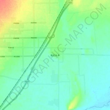
Name: 海北头乡 topographic map, elevation, terrain.
Location: 海北头乡, 怀仁市, 朔州市, 山西省, 中国 (39.76382 113.14501 39.84382 113.22501)
Average elevation: 3,251 ft
Minimum elevation: 3,205 ft
Maximum elevation: 3,366 ft
Other topographic maps
Click on a map to view its topography, its elevation and its terrain.