
云西街道 topographic map
Interactive map
Click on the map to display elevation.
About this map
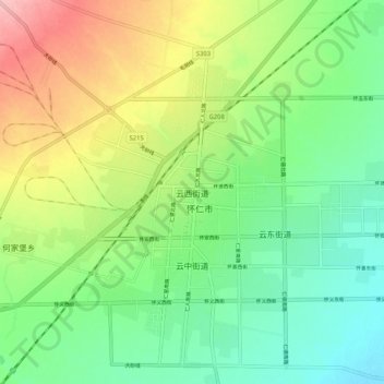
Name: 云西街道 topographic map, elevation, terrain.
Location: 云西街道, 怀仁市, 朔州市, 山西省, 中国 (39.78496 113.05614 39.86496 113.13614)
Average elevation: 3,399 ft
Minimum elevation: 3,232 ft
Maximum elevation: 3,691 ft
Other topographic maps
Click on a map to view its topography, its elevation and its terrain.