
亲和乡 topographic map
Interactive map
Click on the map to display elevation.
About this map
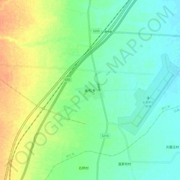
Name: 亲和乡 topographic map, elevation, terrain.
Location: 亲和乡, 怀仁市, 朔州市, 山西省, 中国 (39.68220 113.06700 39.76220 113.14700)
Average elevation: 3,274 ft
Minimum elevation: 3,232 ft
Maximum elevation: 3,346 ft
Other topographic maps
Click on a map to view its topography, its elevation and its terrain.