
围龙镇 topographic map
Interactive map
Click on the map to display elevation.
About this map
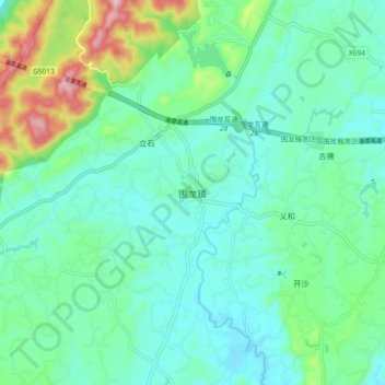
Name: 围龙镇 topographic map, elevation, terrain.
Location: 围龙镇, 铜梁区, 重庆市, 中国 (29.58273 105.96833 29.66273 106.04833)
Average elevation: 1,122 ft
Minimum elevation: 892 ft
Maximum elevation: 1,900 ft
Other topographic maps
Click on a map to view its topography, its elevation and its terrain.