
安溪镇 topographic map
Interactive map
Click on the map to display elevation.
About this map
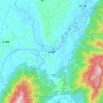
Name: 安溪镇 topographic map, elevation, terrain.
Location: 安溪镇, 铜梁区, 重庆市主城新区, 重庆市, 中国 (29.52407 106.00199 29.60407 106.08199)
Average elevation: 1,263 ft
Minimum elevation: 876 ft
Maximum elevation: 2,835 ft
Other topographic maps
Click on a map to view its topography, its elevation and its terrain.